
palawan
THE PLAYGROUND

Max length: 425 km - AEREAL STRAIGHT LINE. Actual roads North to South would record closer to 550+
Area: 12,189 km²
Capital and largest city: Puerto Princesa (pop. 316,384)
Coordinates: 9°30′N 118°30′E / 9.5°N 118.5°E
Highest elevation: 2,086 m (6844 ft)
Highest point: Mount Mantalingajan
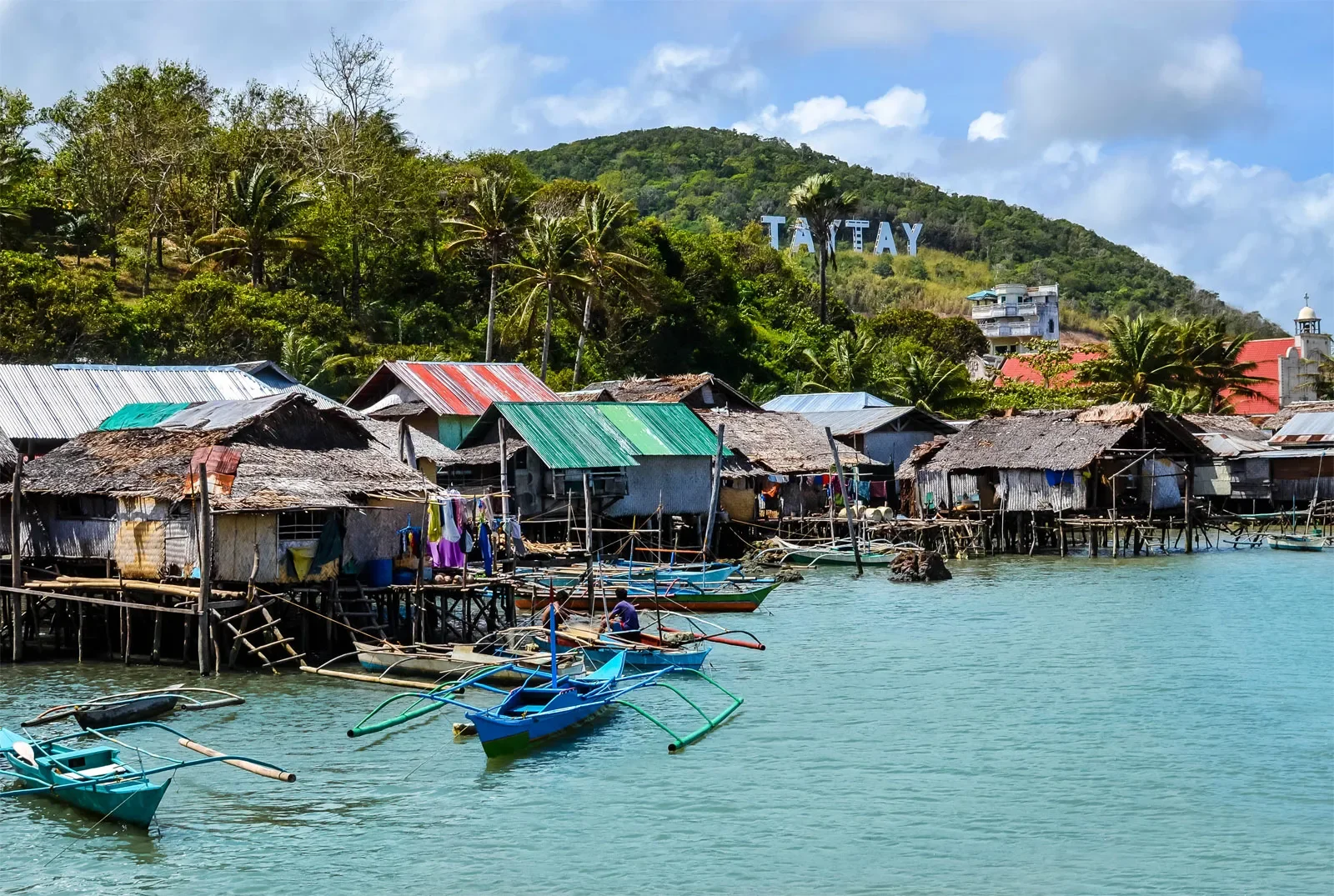
Palawan has 23 municipalities and 1 independent city, Puerto Princesa, for a total of 24 local government units. The municipalities include Aborlan, Agutaya, Araceli, Balabac, Bataraza, Brooke's Point, Busuanga, Cagayancillo, Coron, Culion, Cuyo, Dumaran, El Nido, Kalayaan, Linapacan, Narra, Quezon, Rizal, Roxas, San Vicente, Sofronio Española, and Taytay.
We have divided the island in 4 Quadrants to show you the different areas in more depth. Q1, Q2, Q3 and Q4 from North to South respectively.

Q1
Q1 is our territory as we are based in the Northest part. From El Nido to Dumaran. If planning from single day trips to 2Night3day tours this is the terrain that we explore the most.

UNDER CONSTRUCTION
Q2
From San Vicente in the West coast to Port Barton, Caruray and the Underground River in the Southern Part of this Quadrant.